
Wednesday, March 27, 2013

Regolith -- Silicate Mineral Weathering


All diagrams are from the excellent :
Regolith Geology and Geomorphology
G. Taylor, R. A. Eggleton, Richard A.. Eggleton
John Wiley & Sons, Aug 30, 2001
Sunday, March 17, 2013
Prescribed Fire at Mason Farm

Biogenic VOC emissions
Trees and natural vegetation release air pollutants (biogenic), just like people (anthropogenic).

Figure from a great website by Dr. Wilson from Duke University, with lots of information.
The overall amount of this pollution can be modelled:


Figure from a great website by Dr. Wilson from Duke University, with lots of information.
The overall amount of this pollution can be modelled:

Its important to put this into perspective: human (anthropogenic) emissions of VOCs can be 40 times greater than the highest modelled biogenic emissions. But the compounds plants produce may be more effective in generating hazardous compound Ozone. Atmospheric chemistry is complex, and it is ironic that the highest biogenic pollution emissions occur in the same areas that high anthropogenic pollution also occurs, compounding the problem.
Friday, March 15, 2013


Friday, March 01, 2013
Water Year
Now that it is March and the winter rains are almost finished, let's look at who got what. The West remains in a deep drought.

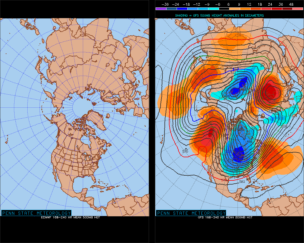
The Weather Channel notes that February upper-level (jet stream) synoptic pattern brought very cold air to the Eastern U.S.

Looking ahead to May, they predict that the continuing drought in the Western Plains will continue and set up a feedback loop: drier surface conditions will create a bubble of high pressure air that will in turn influence the average track of the jet stream, pushing storms north of the rain-starved regions. This is just one possibility, however, and even then only reflects average conditions.

Tuesday, February 26, 2013
Spittle Bugs
We have been seeing spittle bubbling out of trees, especially in today's rain. Might be a spittlebug.
 "a fat little dark-eyed green creature about the size of a sesame seed
called a froghopper nymph, so named for the adult insect's squat shape,
pop eyes and leaping ability. The nymph stage is better known as a
spittlebug. Froghoppers/spittlebugs insert their "beak" & suck
sap through their bodies, extracting nutrients. As the liquid comes out
the other end, mixed with soapy abdominal secretions, the insect puffs
air into it through a special organ, blowing bubbles. The froth flows
down and around the nymph (they feed facing head down), keeping it cool,
moist and hidden from you (unless you look)."

Saturday, February 16, 2013


Wednesday, February 06, 2013
Bankfull Flood on the Haw River, North Carolina

There is abundant evidence of a bankfull flood event on the Haw River, upstream of Bynum, North Carolina.

Let's see what the USGS Gauge at Bynum says.

How does the compare to previous floods?


Monday, February 04, 2013

Subscribe to:
Posts (Atom)