Now that it is March and the winter rains are almost finished, let's look at who got what. The West remains in a deep drought.

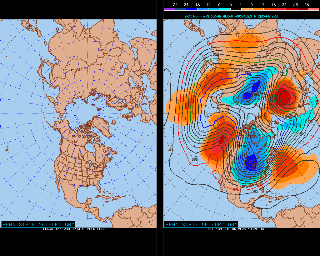
The Weather Channel notes that February upper-level (jet stream) synoptic pattern brought very cold air to the Eastern U.S.

Looking ahead to May, they predict that the continuing drought in the Western Plains will continue and set up a feedback loop: drier surface conditions will create a bubble of high pressure air that will in turn influence the average track of the jet stream, pushing storms north of the rain-starved regions. This is just one possibility, however, and even then only reflects average conditions.


No comments:
Post a Comment