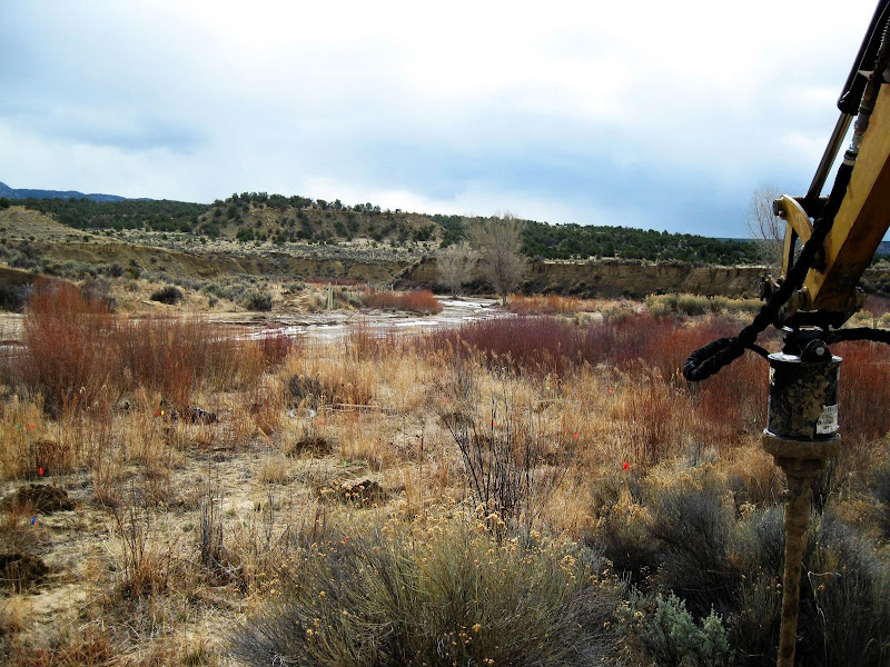
Browsed mormon tea (ephedra sp) and yucca... we followed cattle and game trails (deer, elk, cow, rabbit feces) through the sandy soils, along washes in the hills, clambered over the spine, up many false leads, looking for the springs.

Bug skewered on cholla. There is one species of cholla, one of prickly pear, and one Echinocereus present in the uplands.

The yucca in this area is heavily browsed. I initially suspected overgrazing pressure from cows or game, but later found yucca leaves in a packrat midden. As Alexandra says, "there are rodents, everywhere." Yucca grows thickly in other nearby pastures, possibly as a result of previous grazing management, because in still other pastures there is thick cholla, or thick juniper.


The grama grass grows in "islands" rather than "networks" over much of this range. There are deep furrows/headcuts leading up from the washes, indicating extensive erosion. While Goat Springs is in a natural hard-rock canyon, there are numerous abnormal, unnatural looking trench arroyos in the area. Rocky soils dominate in the uplands, while a large amount of eolian deposits have accumulated at the base of these hills.


As we approached the true springs we knew we were on the right track, first by the abundant PVC detritus, then by a few dying cottonwood, then a thicket, and, finally, a fenced-off area. The "springs" were marked by extensive rock work, both loose and concreted. The PVC piping led to a stock tank. The "springs" themselves were ineffectually fenced. The only interesting species was some Setaria, probably leucopila, growing in the rocks.


While exploring the headwaters above Goat Springs, we discovered an ancient, destroyed, forest. There is nothing like these trees, which may have been old-growth Pinon or Ponderosa, in the area. Above the springs the shrubs are Mountain Mahogony, whereas below the springs the shrubs are all Apache Plume.


 Bug skewered on cholla. There is one species of cholla, one of prickly pear, and one Echinocereus present in the uplands.
  The yucca in this area is heavily browsed. I initially suspected overgrazing pressure from cows or game, but later found yucca leaves in a packrat midden. As Alexandra says, "there are rodents, everywhere." Yucca grows thickly in other nearby pastures, possibly as a result of previous grazing management, because in still other pastures there is thick cholla, or thick juniper.

 The grama grass grows in "islands" rather than "networks" over much of this range. There are deep furrows/headcuts leading up from the washes, indicating extensive erosion. While Goat Springs is in a natural hard-rock canyon, there are numerous abnormal, unnatural looking trench arroyos in the area. Rocky soils dominate in the uplands, while a large amount of eolian deposits have accumulated at the base of these hills.

 As we approached the true springs we knew we were on the right track, first by the abundant PVC detritus, then by a few dying cottonwood, then a thicket, and, finally, a fenced-off area. The "springs" were marked by extensive rock work, both loose and concreted. The PVC piping led to a stock tank. The "springs" themselves were ineffectually fenced. The only interesting species was some Setaria, probably leucopila, growing in the rocks.
 While exploring the headwaters above Goat Springs, we discovered an ancient, destroyed, forest. There is nothing like these trees, which may have been old-growth Pinon or Ponderosa, in the area. Above the springs the shrubs are Mountain Mahogony, whereas below the springs the shrubs are all Apache Plume.
